Australia Recommends 2024
Come and Say G'day
G'day, the short film
Discover your Australia
Travel videos
Deals and offers
Sydney
Melbourne
Brisbane
Perth
Gold Coast
Adelaide
Cairns
Darwin
Hobart
Canberra
View more
Australian Capital Territory
New South Wales
Northern Territory
Queensland
South Australia
Tasmania
Victoria
Western Australia
External Territories
Bondi
The Whitsundays
Esperance
Mornington Peninsula
Noosa
Jervis Bay
Port Douglas
Byron Bay
Ningaloo Reef
Airlie Beach
Kangaroo Island
Rottnest Island
K’gari
Hamilton Island
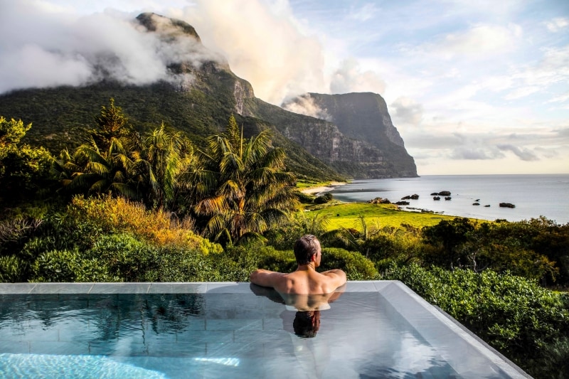
Lord Howe Island
Tiwi Islands
Phillip Island
Bruny Island
Margaret River
Barossa Valley
The Grampians
Hunter Valley
Bundaberg
Daylesford
McLaren Vale
Glass House Mountains
Mudgee
Alice Springs
Broome
Uluru and Kata Tjuta
The Kimberley
Flinders Ranges
Kakadu National Park
Eyre Peninsula
Karijini National Park
Monkey Mia
Great Barrier Reef
Blue Mountains
Daintree Rainforest
Great Ocean Road
Scenic Rim
Purnululu National Park
Cradle Mountain-Lake St Clair National Park
Litchfield National Park
Freycinet
Aboriginal experiences
Arts and culture
Festivals and events
Food and drink
Adventure and sports
Walks and hikes
Road trips and drives
Fishing
Beaches and islands
Nature and national parks
Wildlife
Eco-friendly travel
Health and wellness
Luxury
Family travel
Family destinations
Family road trips
Backpacking
Work and holiday
Visa FAQ
Beginner's guide
Accessible travel
Planning tips
Trip planner
Australian budget guide
Itinerary planner
Find a travel agent
Find accommodation
Find tours
Find transport
Visitor information centres
Deals and travel packages
Visa and entry requirements FAQ
Customs and biosecurity
Working Holiday Maker visas
Facts about Australia
Experiences that will make you feel like an Aussie
People and culture
Health and safety FAQ
Weather
Seasons
Cities, states & territories
Iconic places and attractions
When is the best time to visit Australia?
Seasonal travel
Events and festivals
School holidays
Public holidays
How to get to Australia's most iconic cities
How long do I need for my trip to Australia?
How to travel around Australia
Guide to driving in Australia
How to hire a car or campervan
How to plan a family road trip
How to plan an outback road trip
We can't find what you're looking for. But no worries, you can search for more Aussie inspiration below.


")


, QLD © Tourism & Events Queensland")