Getting around Sydney
Whether you drive or take advantage of the city’s efficient public transport system, you’ll find it easy to get around Sydney.
By Mark Sariban
Even with its diverse suburbs and attractions, Sydney is a straightforward city to get around. The metropolitan area offers a great network of public transport, roadways and cycling and walking paths. Just hop on a bus, train or ferry and start exploring.
Transport in Sydney

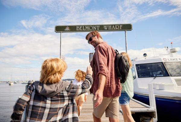
Belmont Wharf, Belmont, New South Wales © Destination NSW
Sydney has an extensive public transport system of buses, trains, metro rail, light rail and ferries. To use the network, you’ll need to either purchase an Opal card or use a contactless credit card, debit card or mobile device.
- Use an Opal card or your preferred payment method on public transport services in Sydney, the Blue Mountains, Central Coast, Hunter Valley, Illawarra and the Southern Highlands.
- Purchase an Opal card and load it with funds at participating retailers such as newsagents, convenience stores and supermarkets, and at Sydney Airport. There are also top-up machines at some train stations, light rail stops and ferry wharves.
- Tap your Opal card on the reader when you board your selected mode of transport, and be sure to tap the reader again when you disembark.
Tip: If you are using a credit card, debit card or mobile device instead of an Opal card, be sure to tap on and off with the same payment method.
Sydney is serviced by Sydney Airport (SYD) in the city’s south. There are several options for reaching the city from the domestic and international terminals.
- The T8 Airport and South train line stops at stations on Sydney’s City Circle. Travel time between the city and airport is around 10–15 minutes, with services running approximately every 10 minutes.
- You’ll find taxi ranks and rideshare pick-up areas at the front of each terminal – simply follow the signage. The journey from the airport to the city takes around 20 minutes.
Tip: If you’re in a group, it will be less expensive to travel to the city by taxi or rideshare.
Sydney has plenty of accessible attractions that can be reached by public transport. Check the Transport NSW’s Accessible travel page for information on using a wheelchair or mobility device on public transport, or select the ‘Accessible services only’ option when using Transport NSW’s Trip Planner tool.
- Sydney Airport provides special assistance for people with disabilities and can help with baggage, getting around the airport, and getting on and off the plane.
- Most Sydney train stations are accessible for people using a wheelchair or mobility device and station staff will assist with boarding ramps.
- The majority of Sydney buses are accessible. Look for the wheelchair symbol on the front window of the bus: the driver can lower the bus and extend a ramp to the kerb.
- The city’s light rail stations have dedicated wheelchair waiting areas. The driver or light rail staff can provide a boarding ramp.
- The expanding Sydney Metro network is fully accessible.
- All Sydney ferries are accessible, but some older ferry wharves require you to navigate stairs. Use the Trip Planner tool or review the list of accessible wharves when planning your journey.
Tip: Use the City of Sydney’s online Access and inclusion map to easily locate accessible toilets, public transport facilities and car parks in the city.
Getting around Sydney on public transport

Sydney Trains, Sydney, New South Wales © Destination NSW
Sydney’s train network is an efficient way of travelling around the city. Take the City Circle to connect to the harbour ferries at Circular Quay, the retail precinct around Town Hall Station, and Central Station. Use the Trip Planner tool to map your route.
Sydney’s light rail network has three main lines.
- The L1 line runs from Central Station through harbourside Pyrmont to the inner-west suburb of Dulwich Hill.
- The L2 and L3 lines depart from Circular Quay and travel to Central Station on their way to the city’s eastern suburbs.
Sydney has a comprehensive bus network. Many buses travel through the city from Wynyard and Circular Quay, and beyond to Sydney’s suburbs, beaches and regional areas. Selected bus routes run 24 hours a day, seven days a week.
Regional bus services operated by Firefly Express, Greyhound and Murrays depart from Eddy Avenue in front of Central Station.
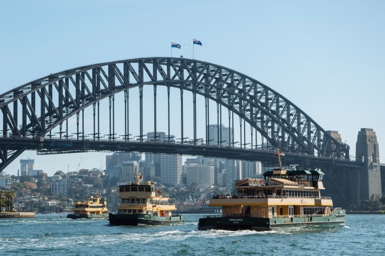
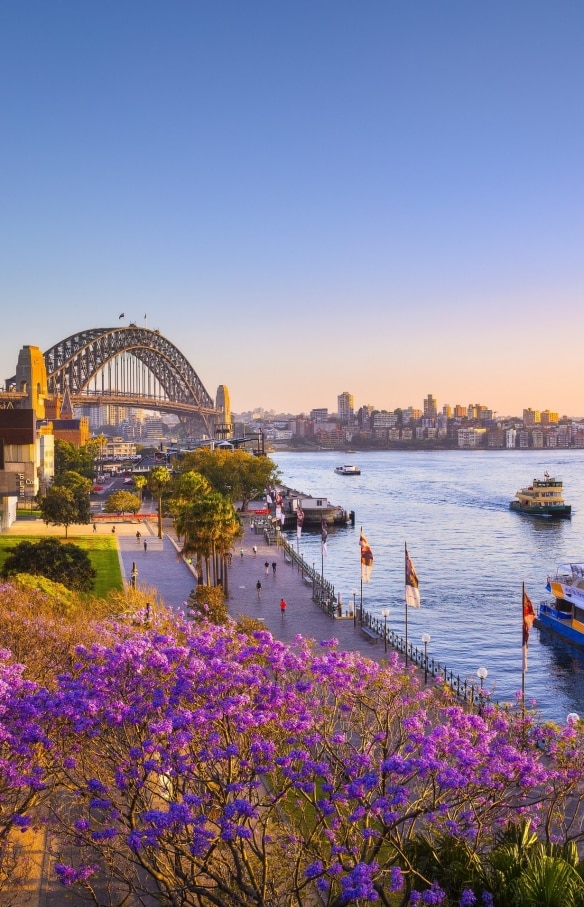
With its sparkling harbour, Sydney was made for ferry travel. Ferry services operate around Sydney Harbour from Circular Quay, cruising to destinations such as the beachside hotspot of Manly, Taronga Zoo Sydney, Luna Park, Barangaroo, Darling Harbour and more. Check out the map guide to see all the routes on the Sydney ferries network.
The latest addition to the Sydney public transport network, driverless Metro trains operate on the Metro North West Line from the northern suburb of Chatswood to Macquarie University and Tallawong in the north-west of Sydney.
Getting around Sydney by car

Scenic Drive, Sydney, New South Wales © Destination NSW
Driving in Sydney is straightforward and safe, but you may find it’s easier to use a combination of taxis, rideshares and public transport to get around town. You can also book tours to many of the stunning destinations outside of Sydney and leave the driving to someone else.
If you do opt to rent a car at the airport or in the city, you may want to check whether your hotel charges a daily parking fee. There may be free as well as paid street parking options, or you can use secure car parks across the city.
Tip: If you’re hiring an electric vehicle, you’ll find a map of charging stations here.
Sydney is served by numerous taxi companies.
- You can hail a taxi on the street (a taxi is available if its rooftop light is on) or at taxi ranks in built-up areas.
- Secure taxi ranks operate late at night on Fridays and Saturdays in busy locations.
- You can also book a taxi by phoning individual companies, or by downloading an app from 13cabs or GoCatch.
Tip: You may be asked to pre-pay your fare at the driver’s discretion.
Tip: Female travellers can also book a ride with Shebah, a rideshare service with all-women drivers catering to women. (Adult men can use the service if they need to transport a child who requires an approved child safety seat.)
Make the most of your time in Sydney with a guided tour. There are numerous tour operators providing customisable half-day and full-day driving tours of the city and surrounds, including Personalised Sydney Tours and Sydney Private Day Tours.
Read next
Where to stay in Sydney
Other forms of transport in Sydney

Hop-on Hop-off at the Opera House, Sydney, New South Wales © Big Bus Tours
Enjoy the city’s highlights from an open-top double-decker bus on a hop-on, hop-off Big Bus Tour departing from Circular Quay. Big Bus also offers tours of Bondi, departing from Central Station.
Water taxis are an efficient and fun way of travelling between harbourside attractions and waterfront restaurants. Water taxis can meet you at public and private jetties all around Sydney Harbour.
- Major operators include Water Taxis Combined and Fantasea Yellow Water Taxis.
Explore the hidden beaches and secluded coves of Sydney Harbour on a cruise departing from the wharves lining the entertainment precinct of Darling Harbour, Circular Quay and Manly.
See Sydney Harbour from a different perspective on a seaplane flight. Sydney Seaplanes and Sydney By Seaplane both offer sightseeing tours of Sydney Harbour and the surrounding coastline from their bases at Rose Bay, in the city’s eastern suburbs.
Tip: Sydney Seaplanes and Sydney By Seaplane can fly you to selected waterfront fine dining restaurants in the city’s northern reaches for a memorable lunch.
With an extensive network of separated bike paths, cycling around Sydney is easy. Hire a bike and download the City of Sydney’s cycling map to plan a trip along cycleways, shared paths and streets with low levels of traffic.
Tip: Motorised scooters, e-scooters and Segways are not permitted on roads or footpaths in Sydney.


